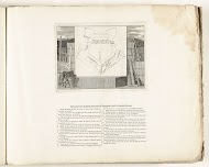
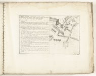
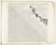
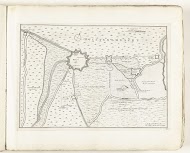
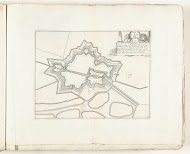
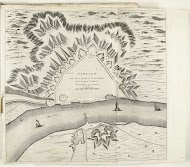
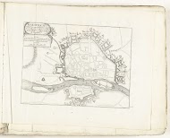
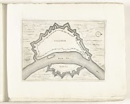
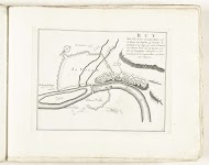
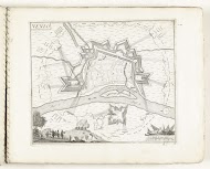
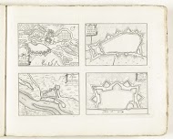
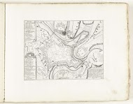
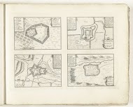
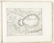
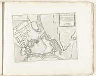
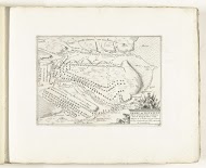
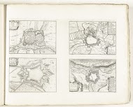
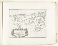
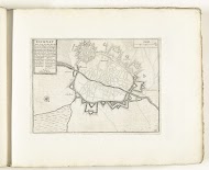
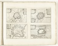
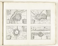
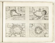
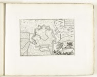
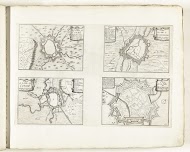
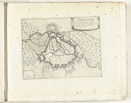
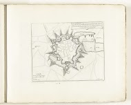
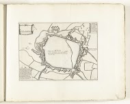
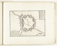
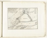
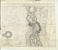
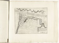
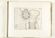
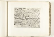
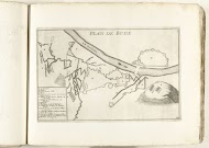
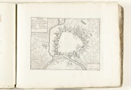
Kaart van de zuidkust van Bretagne, ca. 1702, anonymous, 1702 - 1703
engraving, h 227mm × w 305mm More details
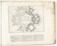
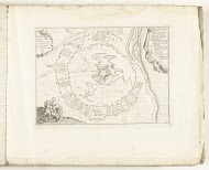
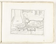
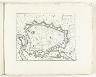
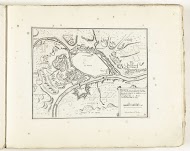
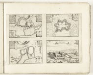
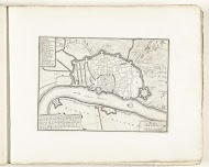
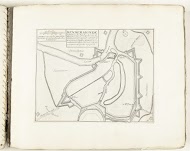
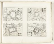
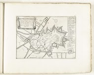
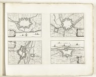
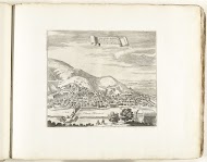
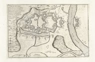
Kaart van de zuidkust van Bretagne, ca. 1702, anonymous, 1702 - 1703
engraving, h 227mm × w 305mm More details
October 22 2016 - 158 works 1303 1
January 18 2021 - 27 works 129 0